
Aerial Systems
Drones
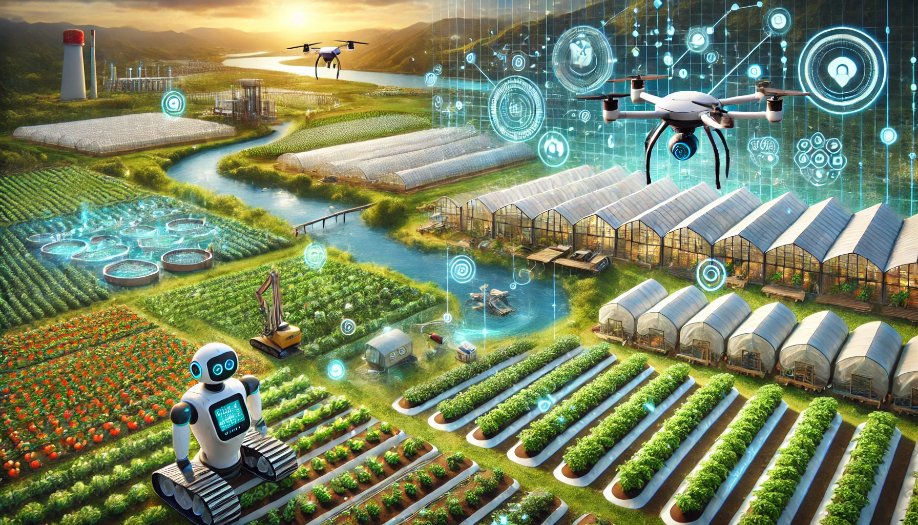
Autonomous drone fleets guided by Kaonic Ai — planning their own routes, reading the land beneath them, and coordinating safely with every other machine in the sky.
Medical logistics
Blood, vaccines and lab samples delivered to remote clinics within minutes.
Crop scouting
Multispectral imaging that detects pest, disease and water stress before yield loss.
Precision spraying
Targeted application that cuts chemical use and protects surrounding ecosystems.
Mapping & survey
Centimetre-grade terrain, infrastructure and land-use mapping.
Security & surveillance
Perimeter monitoring and incident awareness with privacy safeguards.
Emergency response
Rapid situational assessment for floods, fires and search operations.
Fleet intelligence
Every Kaonic drone shares perception and telemetry with the fleet: routes adapt to weather, battery health and airspace load in real time, while mission data flows into sector dashboards for farms, hospitals and government agencies.